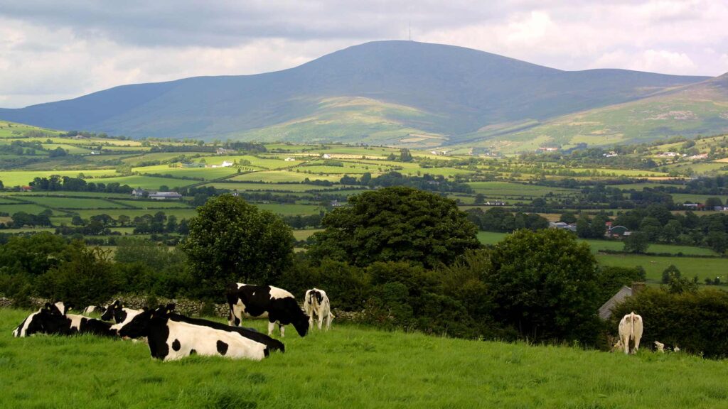
The South Leinster Way is a long distance walking route which runs from Kildavin, in the east of County Carlow to Carrick-on-Suir in County Tipperary covering 102 km in length. The predominant features in the landscape are Mount Leinster, Brandon Hill and the river valleys of the Barrow, Nore and Suir. This stretch can be comfortably walked in five days but strong walkers can finish it in three days.
Stage 1
Kildavin – Borris 22km. From Kildavin the route passes along forest tracks over the northern slopes of Mount Leinster to reach the town of Borris. The “Nine Stones” vantage point at Mount Leinster offers amazing views of the Barrow Valley and Brandon Hill. at 795 meters Mount Leinster is the highest point in the Blackstairs Mountains.
Stage 2
Borris – Graiguenamanagh 12km. This stretch follows the towpath along the River Barrow and is particularly attractive as it passes through rich, deciduous woodland and old mills. Clashganny Lock, 5km south of Borris is one of Carlow’s and Ireland’s most famous landmarks.
Stage 3
Graiguenamanagh – Inistioge 16km. This walk crosses the slopes of Mount Brandon by a series of forest walks before reaching the pretty village of Inistioge.
Stage 4
Inistioge – Mullinavat 30km. Starts along the River Nore and continues via forest roads over several hills to reach Mullinavat.
Stage 5
Mullinavat – Carrick-on-Suir 22km. This stretch crosses the River Blackwater and passes the village of Piltown en route to the end of the walk in Carrick-on-Suir.